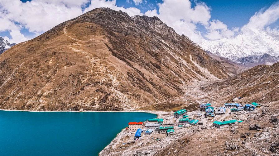
Day 13 included nine hours of hiking that started from the village of Gokyo, up to the magnificent Gokyo Ri, and then trekking down to the village of Dole.

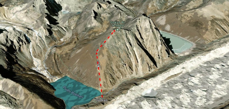
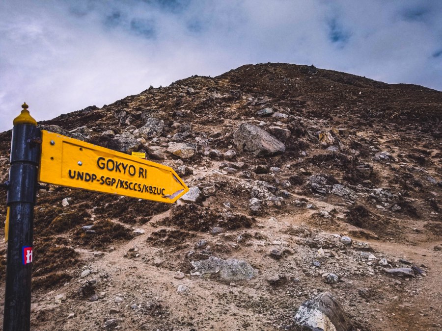
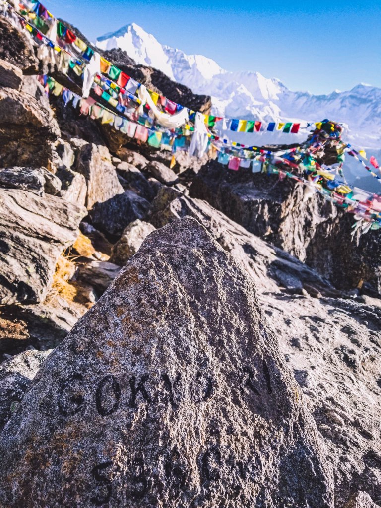
Day 13: Gokyo to Gokyo Ri (5/17)
Trip Duration: 3-4 hours
Elevation at Gokyo: 4,800 meters (15,748 feet)
Elevation at Gokyo Ri: 5,360 meters (17,585 feet)
Elevation Gain: 560 meters (1,837 feet)
Distance: 1.5 km (about 1 mile)
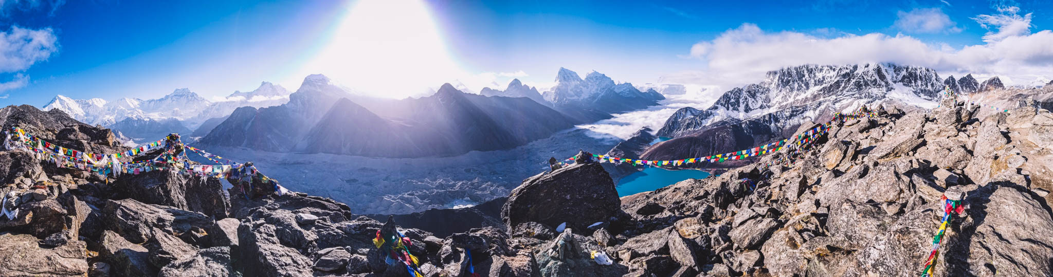
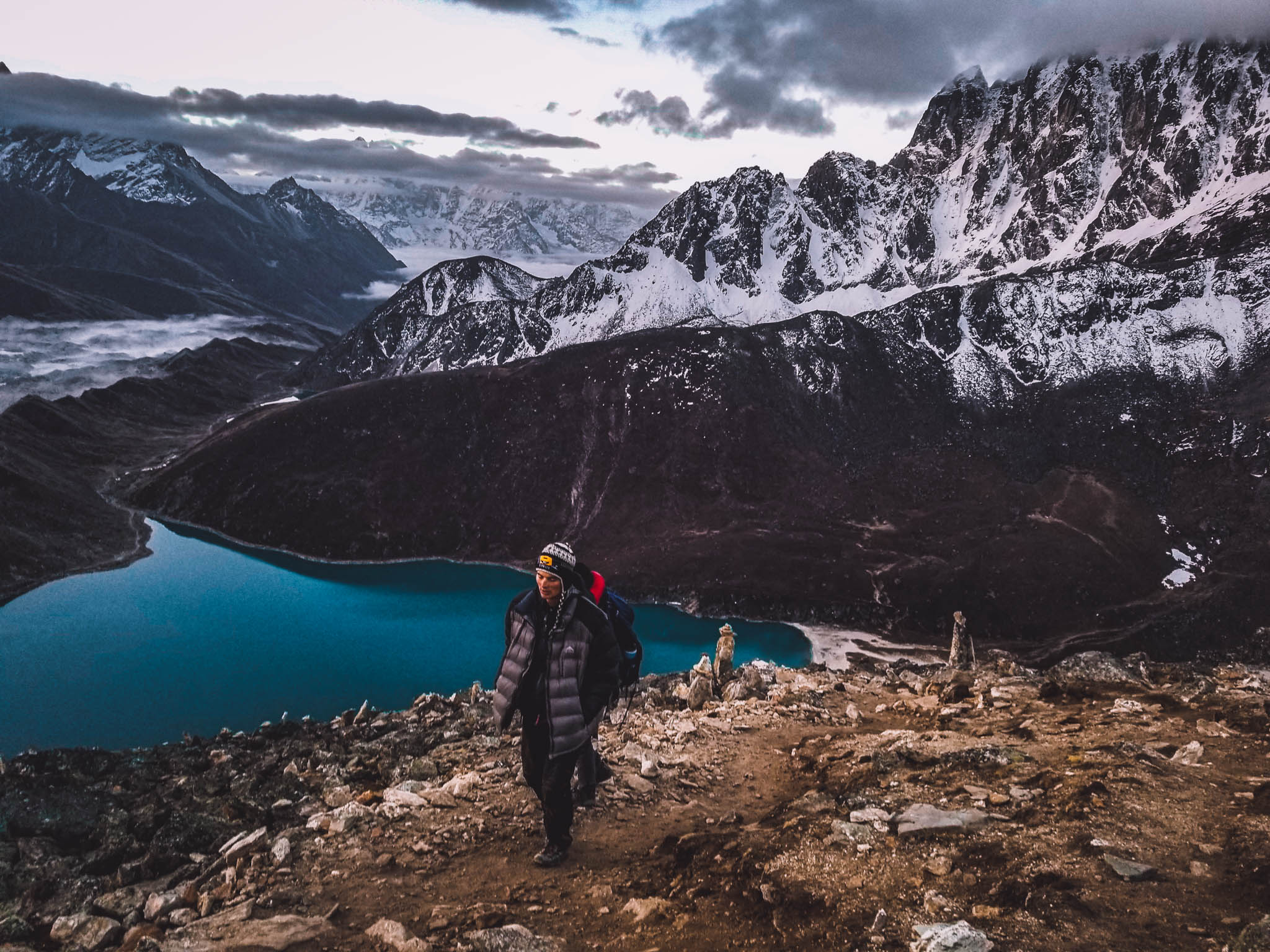
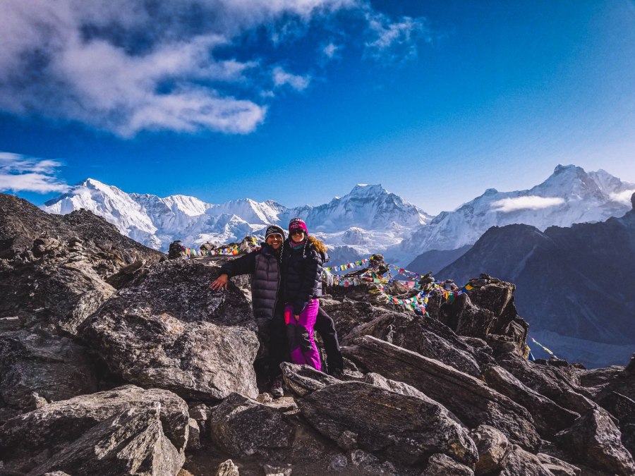
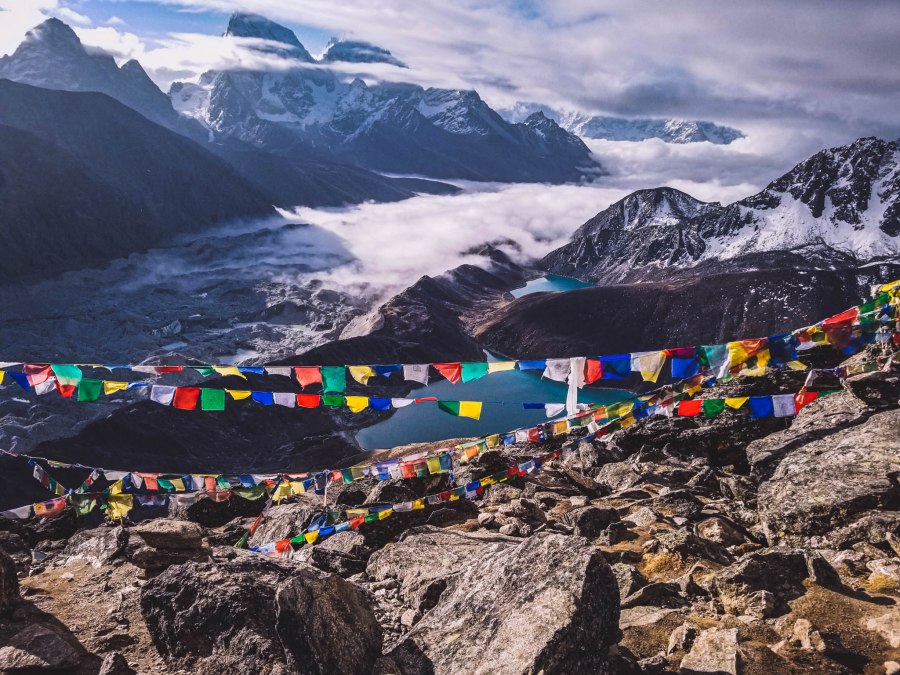
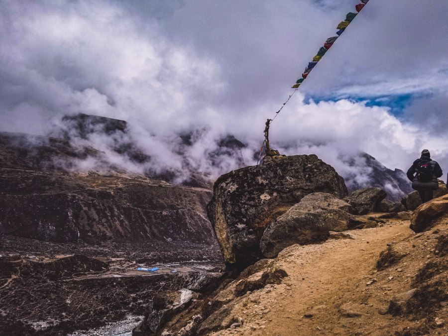
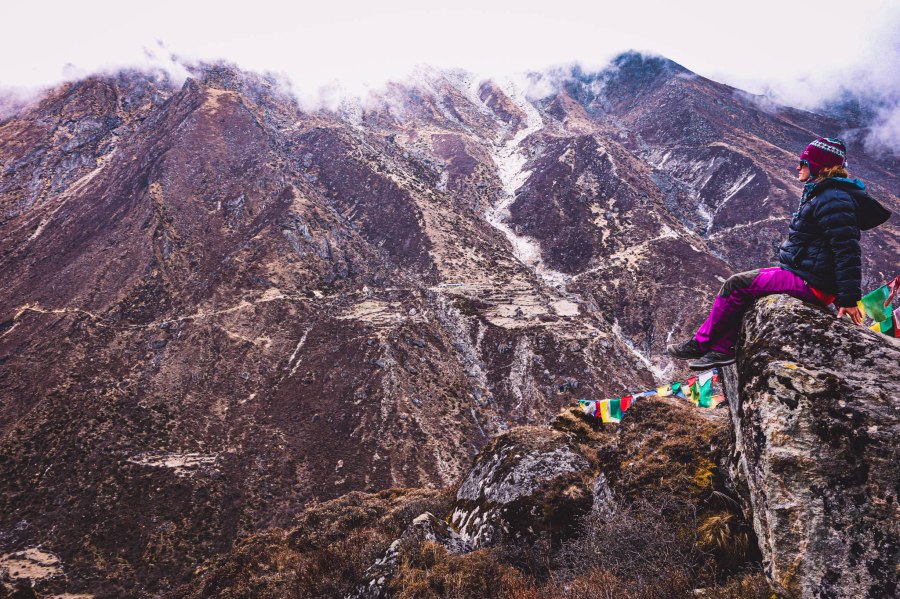
The next morning we were beyond thrilled to do a sunrise trek up to Gokyo Ri (Peak). After the mesmerizing lake views from the village we could only imagine how gorgeous the views were going to be from the famous peak.
Himalayas 101: Gokyo Ri is a 100% must-do when trekking in the Himalayas. Be sure to not miss this trek.
The morning began with a wake-up from Govinda at 3 a.m. We quickly got dressed and packed snacks and water for the hike since the kitchen wasn’t open yet. With headlamps on we went off into the darkness. The hike up was arduous and took almost 3 hours but we knew it was going to be worth every difficult step.
One of the many benefits of starting the hike early was seeing the sky changing colors as the day progressed from night, to twilight, to sunrise.
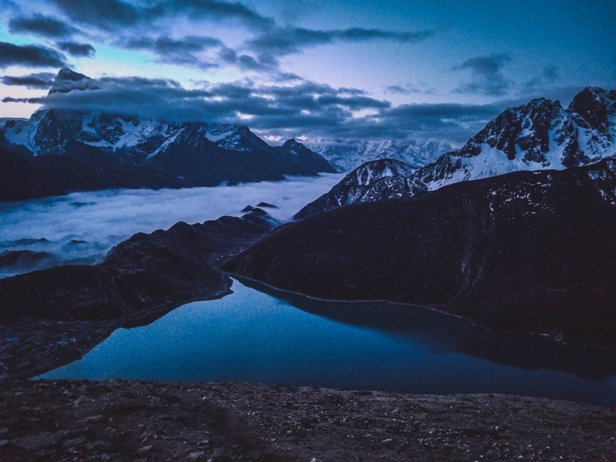
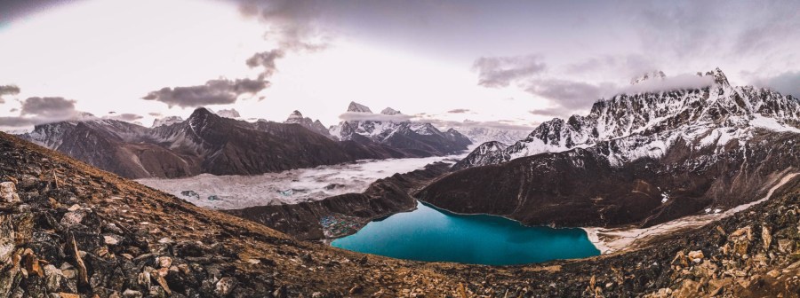
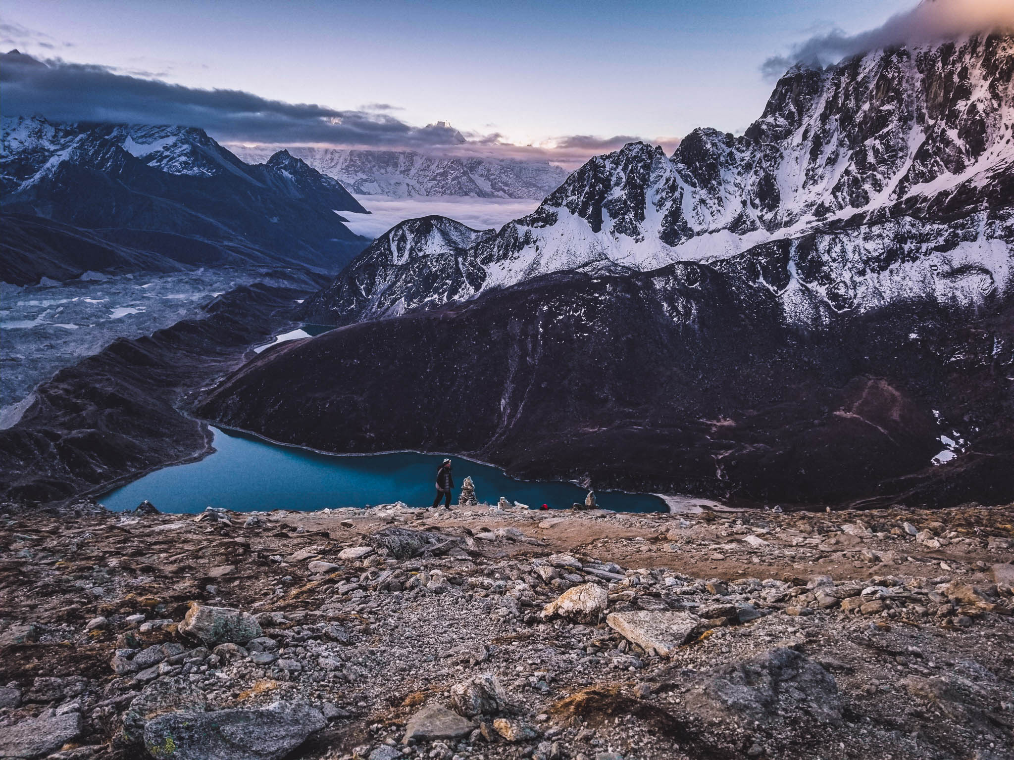
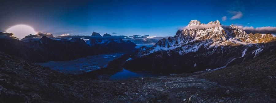
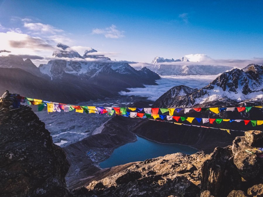
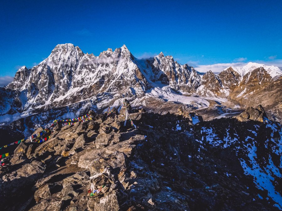
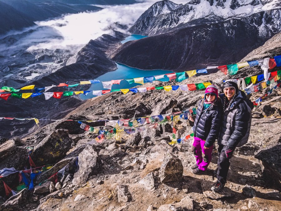
The summit of Gokyo provided remarkable panoramic views of Ngozumpa Glacier, the Gokyo Lakes, and six out of the 20 tallest mountains in the world including: Mount Everest (8,848 m; 1st), Lhotse (8,516 m; 4th), Makalu (8,485 m; 5th), Cho Oyu (8,201 m; 6th), Gyachung Kang (7,952 m; 15th), and Nuptse (7,864 m; 20th).
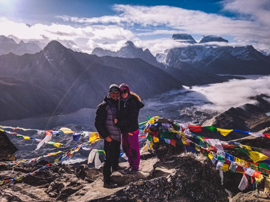
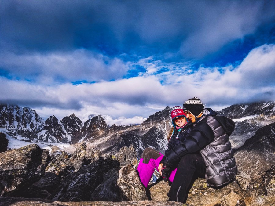
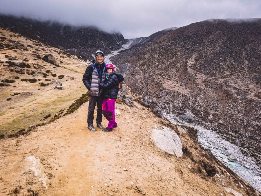
We spent quite a bit of time absorbing the beauty around us.
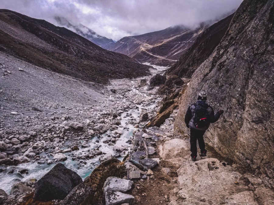
The hike down was much easier and took less than an hour.
After an exhausting morning of hiking almost 2,000 feet (one-way), we headed back to our teahouse for a meal and a break before continuing down to the small village of Dole.
Gokyo to Dole (Day 13 Continued)
Trip Duration: 5 hours
Elevation at Gokyo: 4,750 meters (15,584 feet)
Elevation at Dole: 4,038 meters (13,248 feet)
Elevation loss: 712 meters (2,336 feet)
Distance: 11.9 km ( 7.3 miles)
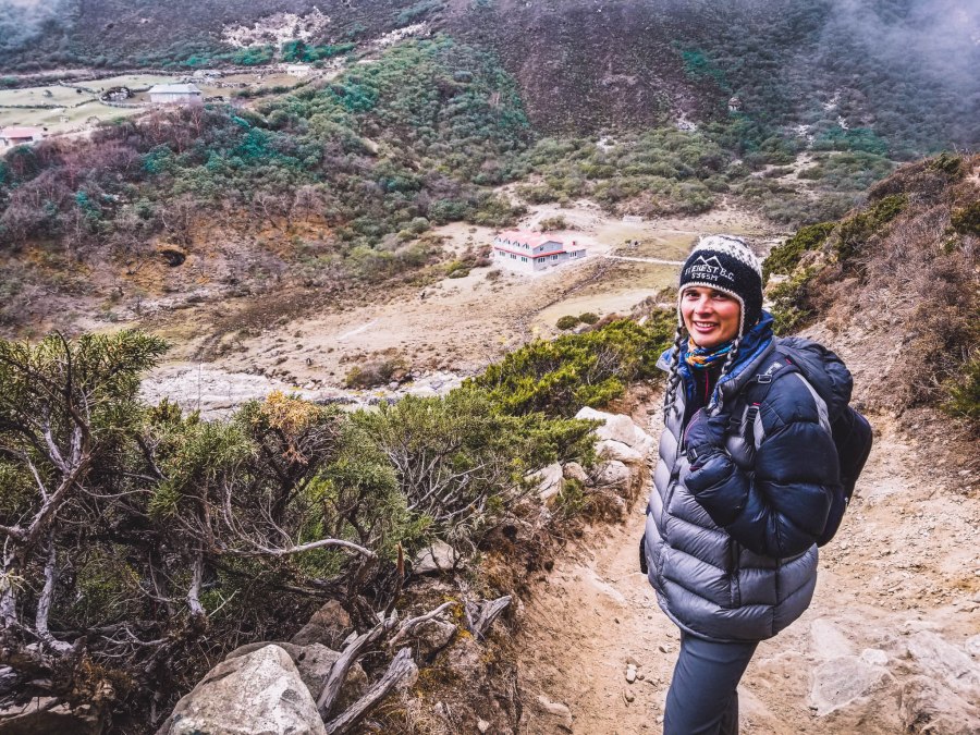
This point marked the beginning of the end for our Himalayan journey. It was all downhill from here (decreasing elevation each day). It was sad to know that we only had a few days left but going downhill is much easier than up, as you can see with how much quicker we covered longer distances.
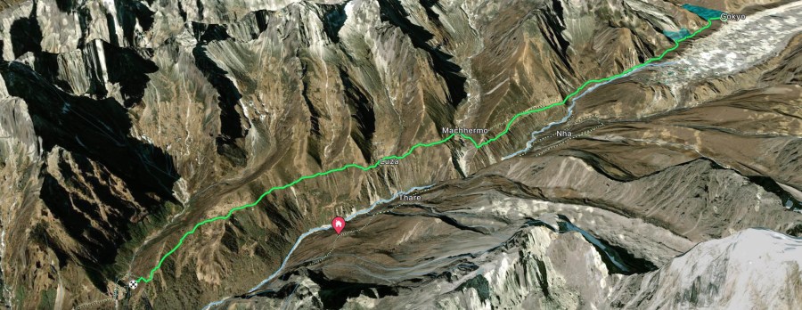
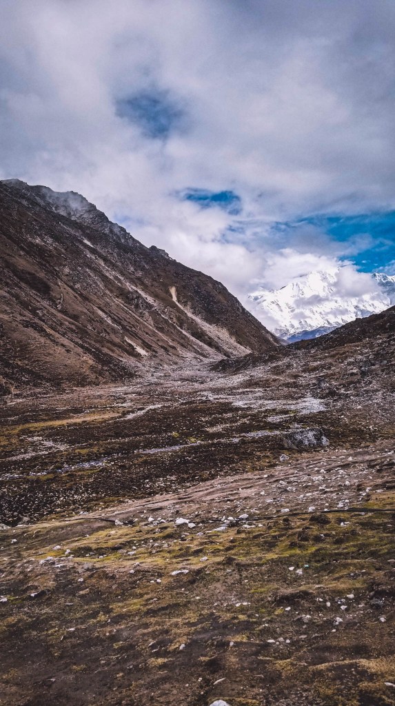
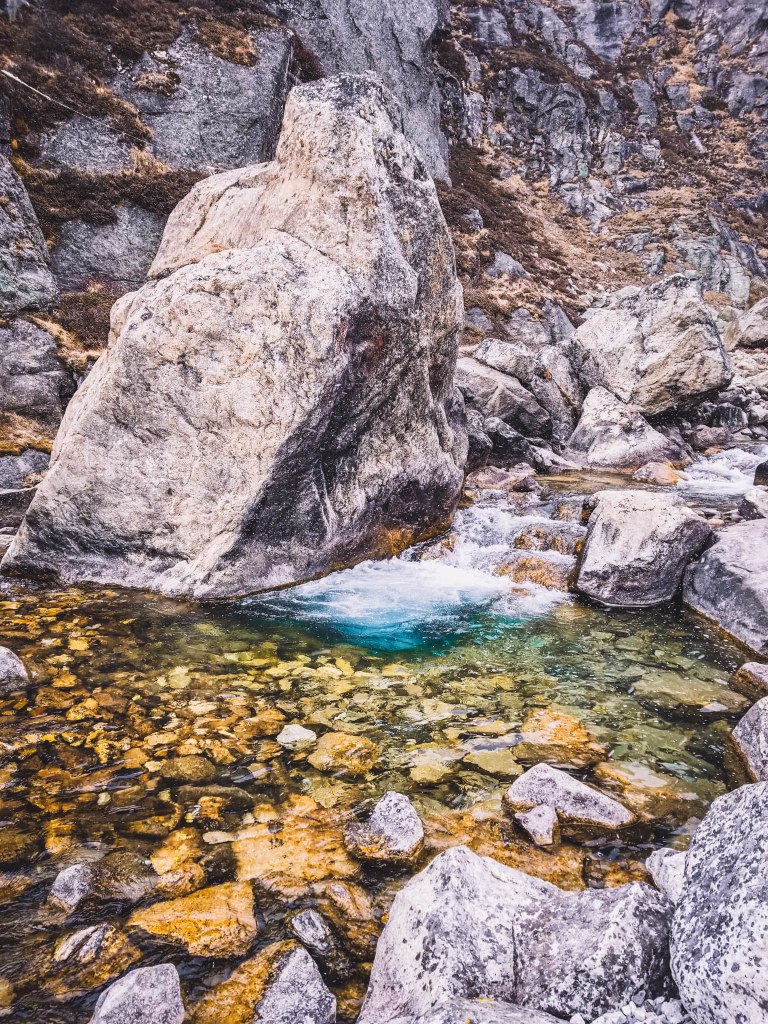
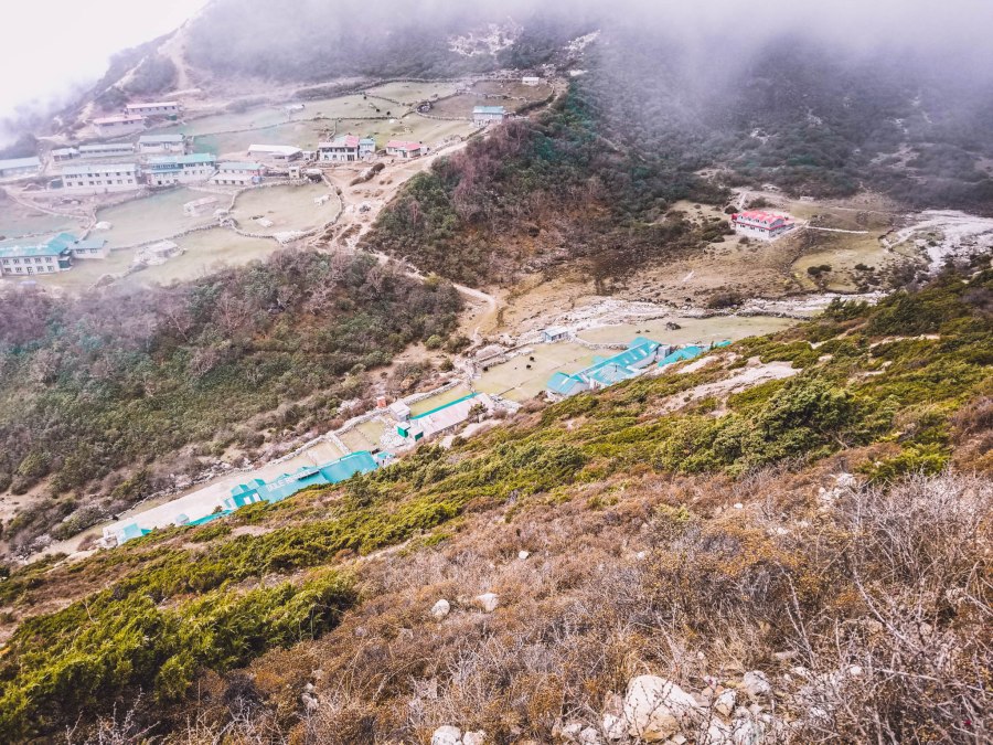
The trail from Gokyo to Dole is along peaceful flowing Dudh Khosi River. We thoroughly enjoyed the sound of the river flowing beside us. The beautiful views from above the valley were very enjoyable as we walked past towns situated deep in the wide river basin.
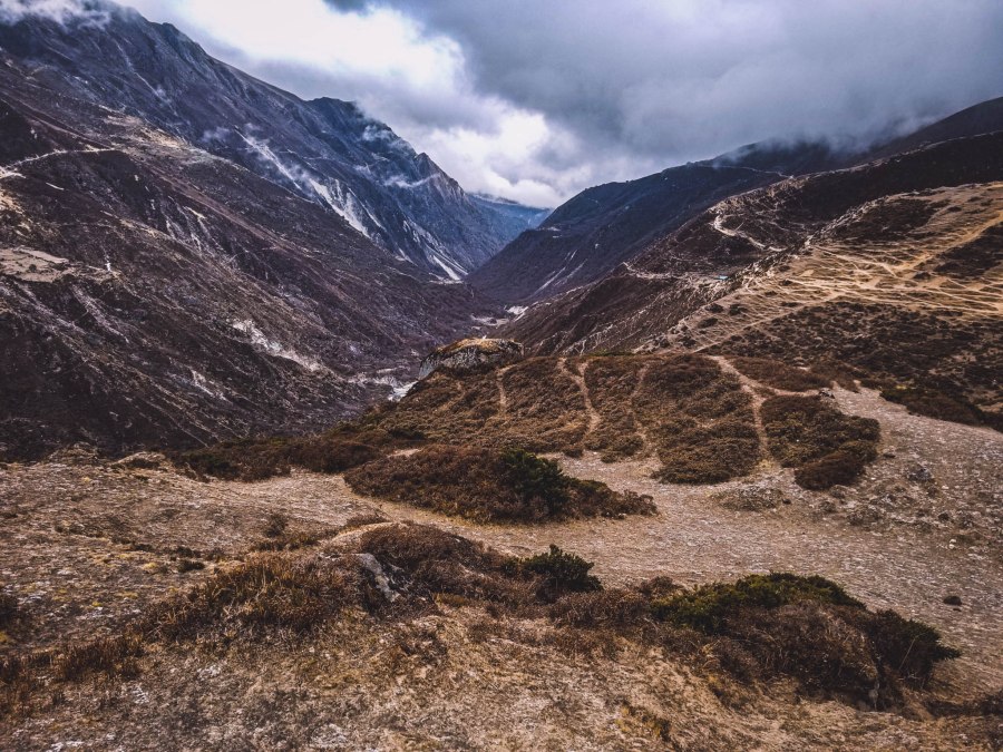
We eventually reached the tree line which indicated we were getting closer to the town of Dole. It was interesting not seeing any trees the previous days due to the high elevations not providing suitable conditions for trees to grow.
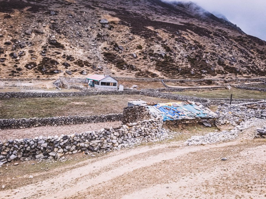
Accommodation
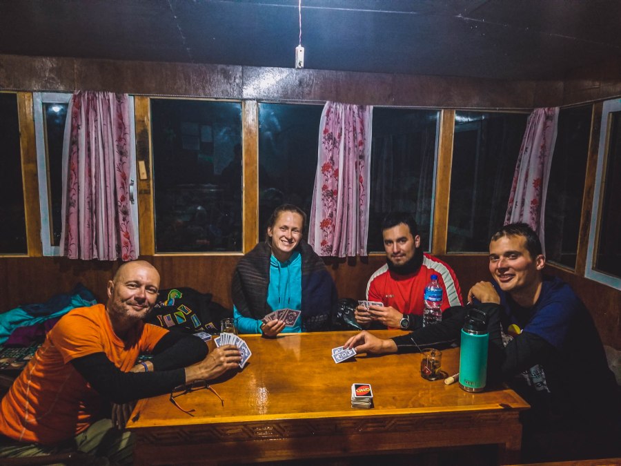
Our total trekking for the day was about 9 hours, so we were very much looking forward to a night of rest. We checked into our teahouse in Dole where our friends we met a few days prior happened to be staying. We finished off the long day with some cards and relaxing before heading off to bed for some well deserved rest.